East Side
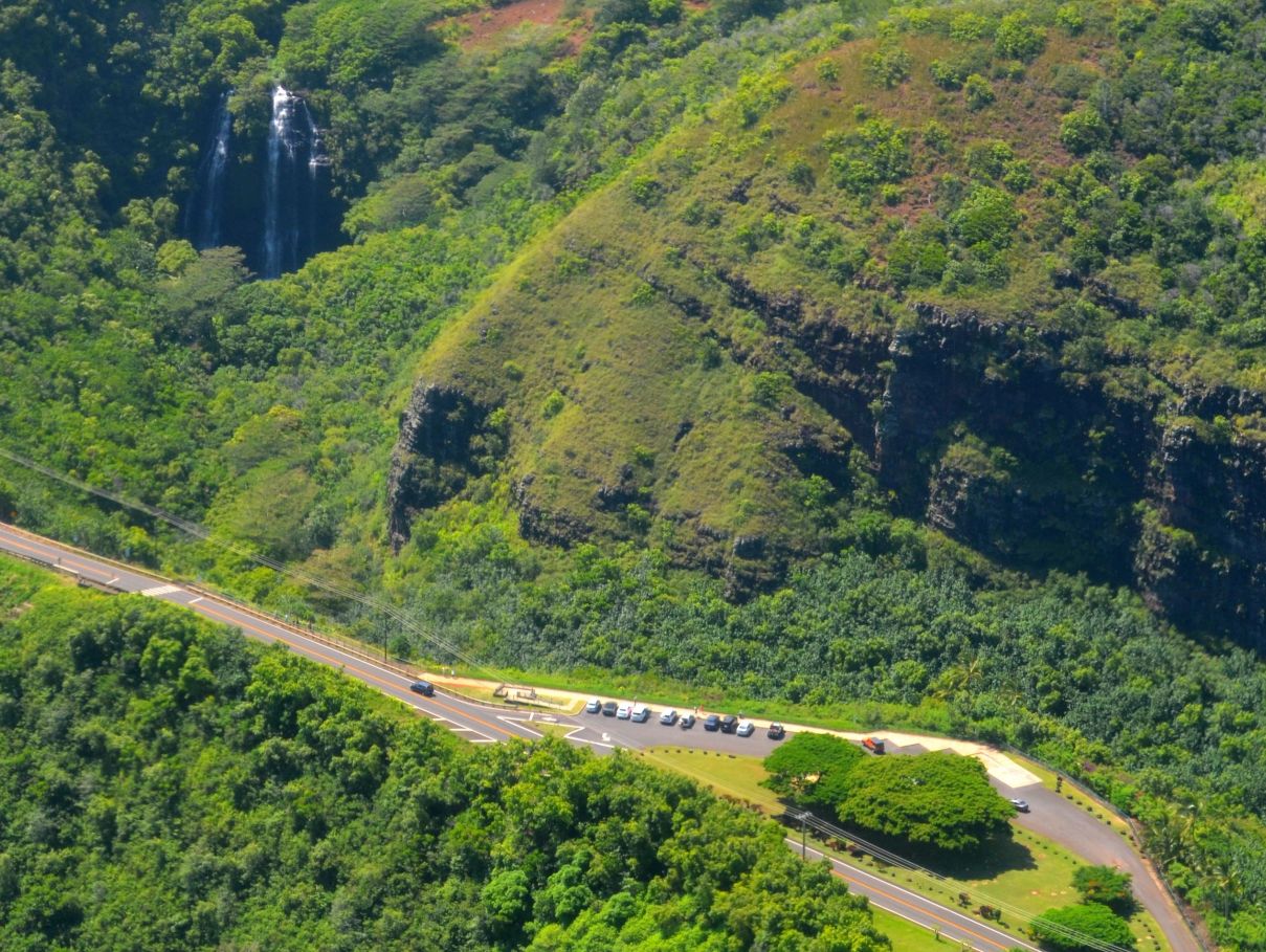
Wailua River State Park
River scenery, waterfall overlooks, and important cultural places in the Wailua landscape.
Plan your visit
Use established access points and check current river and trail notices.
Find this area on a mapEXPLORE AT YOUR OWN PACE
Explore river valleys, mountain landscapes, and protected places.
We build park days around the weather, access rules, and the time needed to enjoy the drive. Start with the official alerts, then choose a region and leave space for a few unhurried stops.
6 ideas to explore
East Side
River scenery, waterfall overlooks, and important cultural places in the Wailua landscape.
Use established access points and check current river and trail notices.
Find this area on a map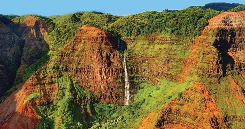
West Side
Canyon viewpoints and upland scenery reached by the mountain road above Waimea.
Allow an unhurried drive. We suggest a light layer, water, and time to pause at designated viewpoints.
Find this area on a map
West Side
Cooler uplands, forest trails, and lookout areas above the canyon.
Check road closures and trail status first. Cloud and rain can change the view quickly.
Find this area on a map
North Shore
The Keʻe Beach area and the start of the Kalalau Trail.
Nonresident access requires advance reservations. Choose the correct parking, shuttle, or entry arrangement.
Find this area on a map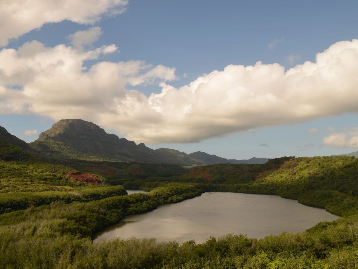
East Side
Protected wetland habitat in the valley near Alekoko Fishpond.
The refuge is closed to general public access. View the landscape from the public fishpond overlook.
Find this area on a map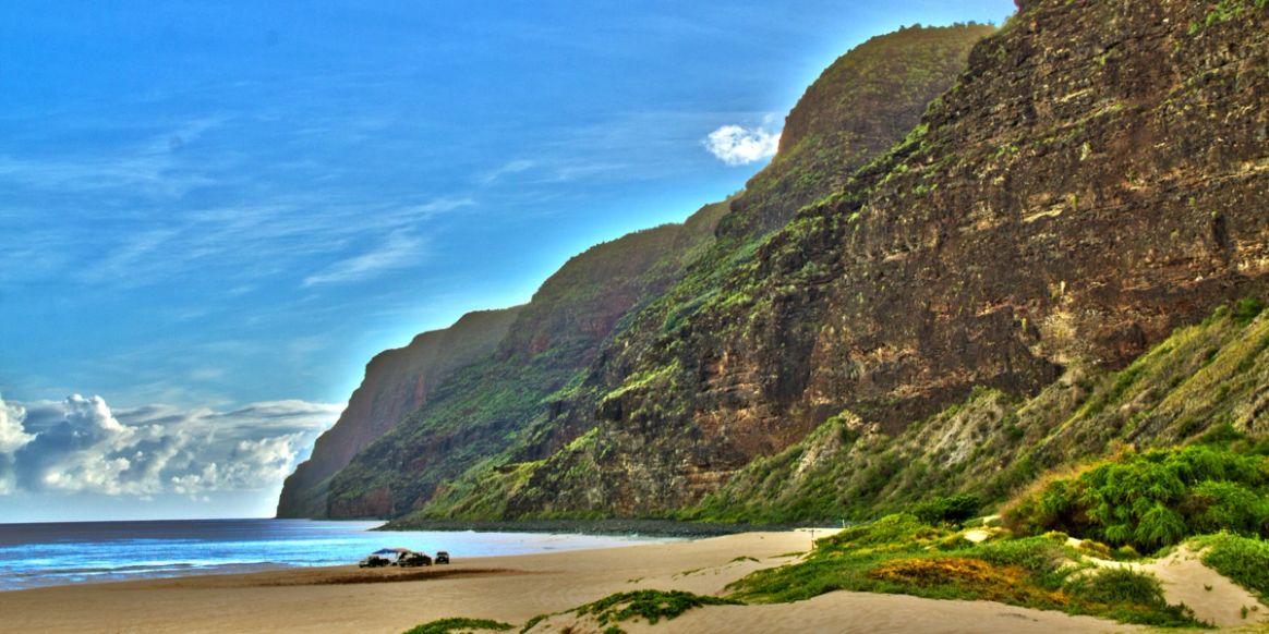
West Side
A remote beach landscape where the west-side coast meets Na Pali’s cliffs.
Access depends on road and park conditions. Check official alerts and vehicle restrictions before heading out.
Find this area on a mapNo matches. Try another area or search.
Check live park and road alerts before departure. Mountain visibility and trail conditions can change quickly.
Check current Kauai park alerts →